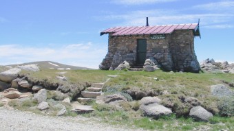
Etheridge Ridge is typical of the weathered granite country that forms the Rams Head Range and encircles the upper Snowy River valley. It separates the Snowy from the deeper Rawson Creek valleys. From behind Seamans Hut there is a now little-used track that leads down into the valley to bypass the long hairpin at Rawson Pass. Although it appears complete on the older paper maps (and on Google Maps), it peters out before reaching the creek, and is not a recommended way of getting to Muellers Pass.
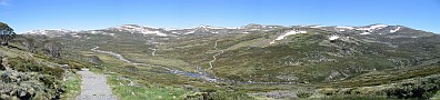
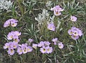
As you follow the road along the north-western face of the ridge the wonderful Rawson valley swings into view. The sheltered north-facing slopes of the valley are the domain of the tall alpine herbfield. Yellow buttercups and billy buttons, white daisies and purple eyebrights paint swathes of colour across the landscape as they jostle for a place in the sun for the short alpine summer.
Kosciuszko presides over the valley, but from this aspect looks just like a large rounded hill. The Main Range track cuts diagonally across the opposite side of the valley just below the horizon on its way northward towards the lakes, and the second half of the grand circuit.
 7.6km
Rawson Pass junction. Here you join the throng of walkers from Thredbo on their way to or from the summit. Your paths coincide for less than a kilometre, unless you’ve opted for Walk B and are going all the way to the top.
See Walk A1 for the Rawson Pass to Kosciuszko Summit leg.
7.6km
Rawson Pass junction. Here you join the throng of walkers from Thredbo on their way to or from the summit. Your paths coincide for less than a kilometre, unless you’ve opted for Walk B and are going all the way to the top.
See Walk A1 for the Rawson Pass to Kosciuszko Summit leg.
8.3km
(10.3km via the Summit) Main Range track junction. Leave the main track and take the signposted path to the right. It descends gradually as it follows the spur jutting northward from Kosciuszko. The narrow track and fewer hikers helps promote a sense of travelling deeper into unknown territory, though the Summit Road only a kilometre away to your right is a reminder of the impact of people on this environment.
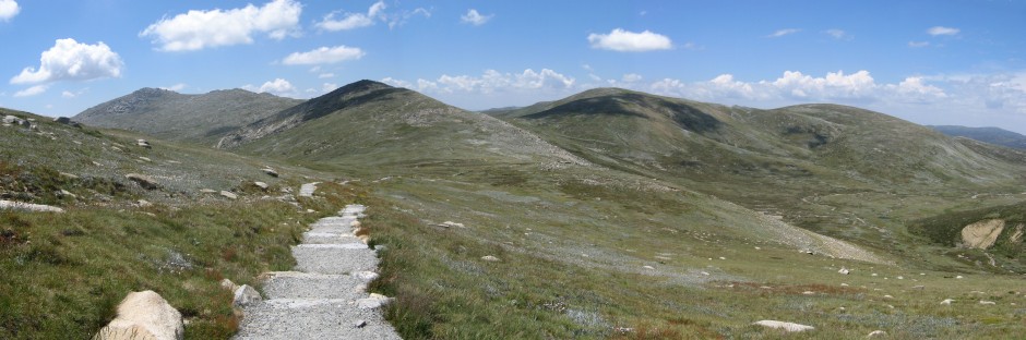
The smooth curves of Muellers Peak, Mt Northcote and Mt Clarke contrast with the craggy landscape of Mt Townsend and the Abbot Range that looms on your left as you clear the spur. The panorama below is the view from grid reference 138-660. On both sides of the re-made track wildflowers abound as you descend to Muellers Pass. Just past the saddle you may notice a cairn marking a faint track heading left. This narrow footpad leads 2.6km to Townsend, the second highest peak in Australia.