Family Bushwalks
in the
Snowy Mountains
ISBN 9780975119419
Copyright © 2010 Geoff Whale
|
Images of Kosciuszko NP
I will add to this page as I get time to sort through the many pictures I've taken.
Note that the full-size panoramic images are generally large files, up to 1.8Mb.
All files are RGB JPEGs.
You are welcome to link to this page.
If you wish to republish the originals (with or without labels),
contact me.
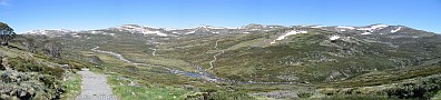
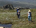
The Alpine Region
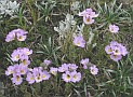
The most spectacular views are found, naturally enough, in the alpine areas.
These images are mostly from a trip in mid-December 2001, when there were still plenty
of snowpatches but the wildflowers had not yet emerged.
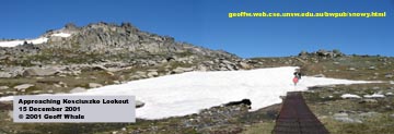
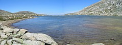
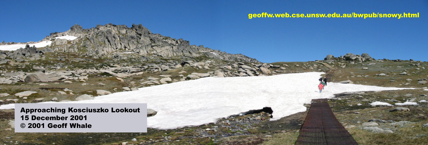
1. Approaching Kosciuszko Lookout (485kb)
|
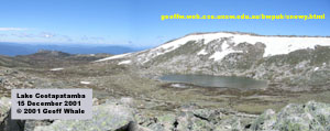
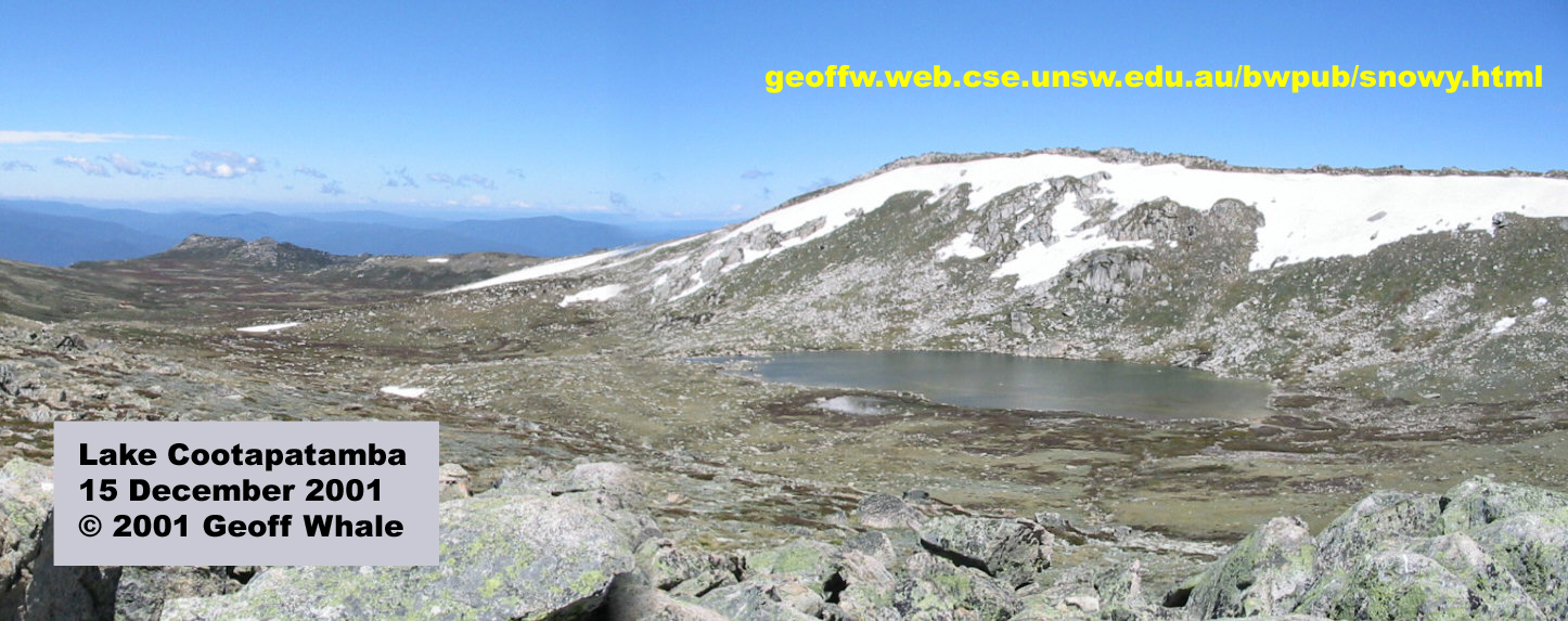
2. Lake Cootapatamba (405kb)
|
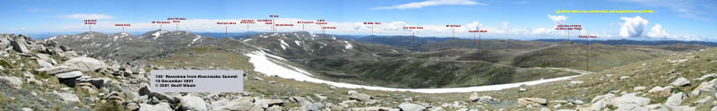
3. 180 degree panorama from Kosciuszko Summit (1760kb)
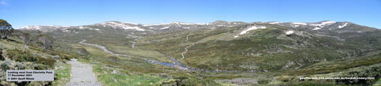
4. Main Range from Charlotte Pass (895kb)
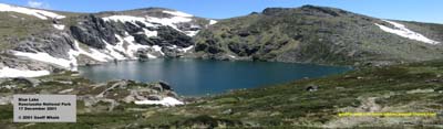
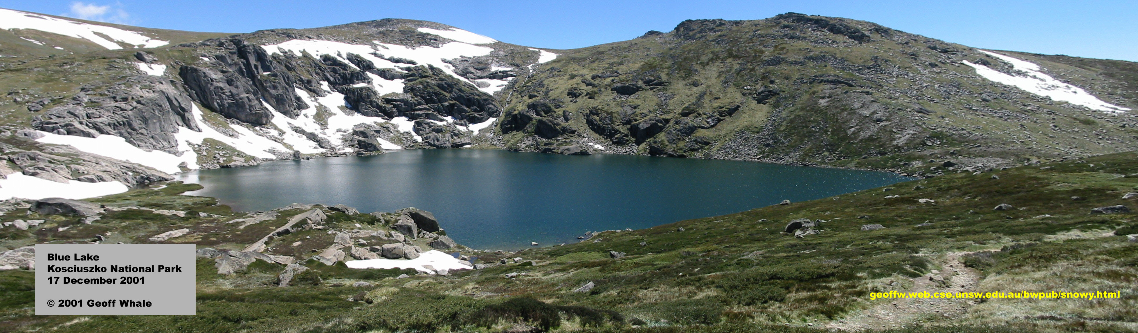
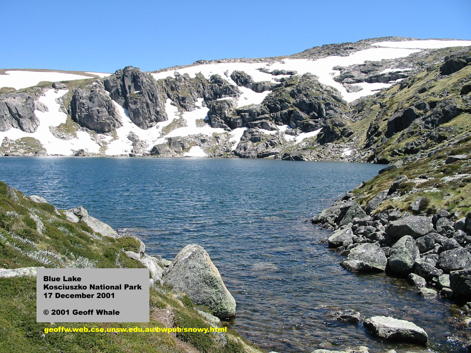
5. Blue Lake cirque (885kb)
|
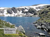
6. Blue Lake shoreline
near terminal moraine (480kb)
|
|
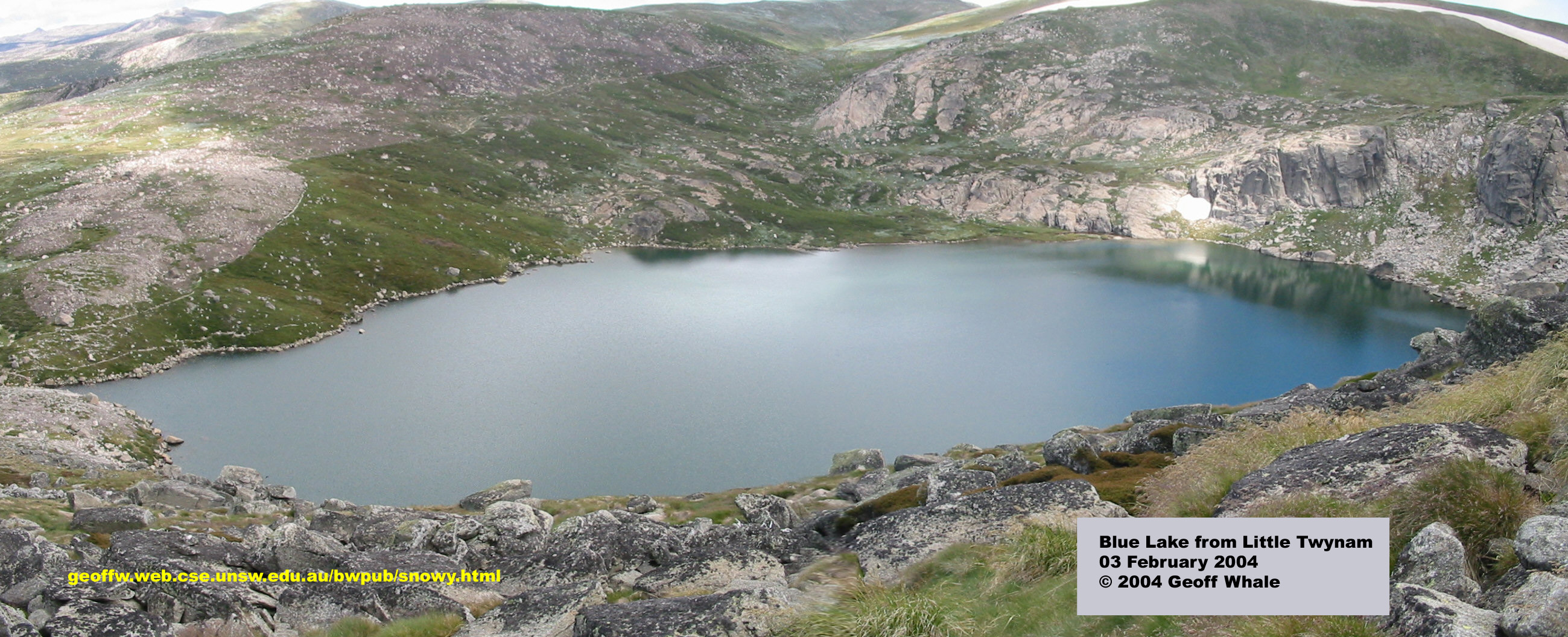
Another view taken from half-way up Little Twynam, one year after the fires.
Note the clearly visible boundary between the burnt area above the track that runs
from the lookout (upper right) and the unburnt heath below it.
It is very unusual for the alpine areas to be
this affected by fire, and recovery will be very slow.
|
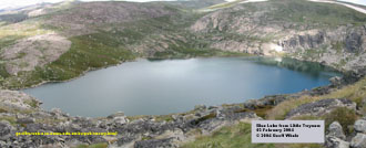
7. Blue Lake from Little Twynam (831kb)
|
The Thredbo Valley
The Thredbo River carves a deep valley along an ancient fault line
below the Rams Head range.
|
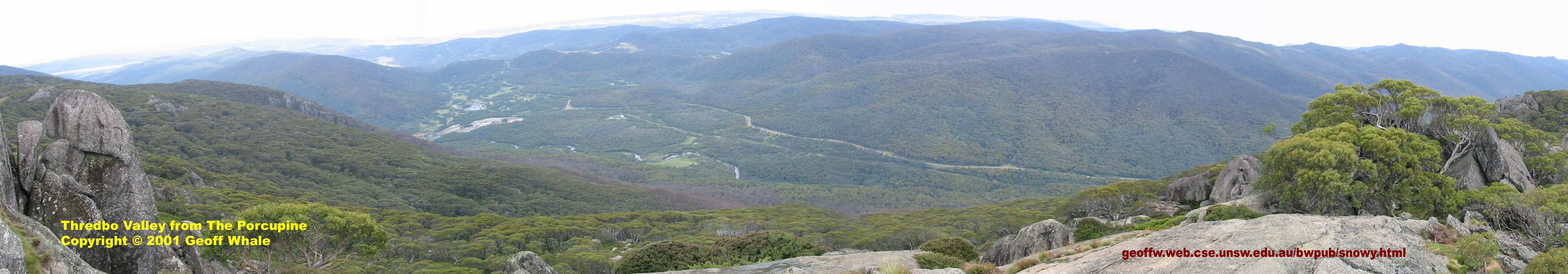
1. View from The Porcupine, a series of granite outcrops overlooking
the valley, along a 3km track from Perisher Valley.
The river, a powerline clearing and the Alpine Way are clearly visible.
The grassy area is Bullocks Flat campground, and the Ski Tube is further to the left.
|
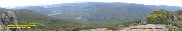
View from The Porcupine (1052kb)
|
|
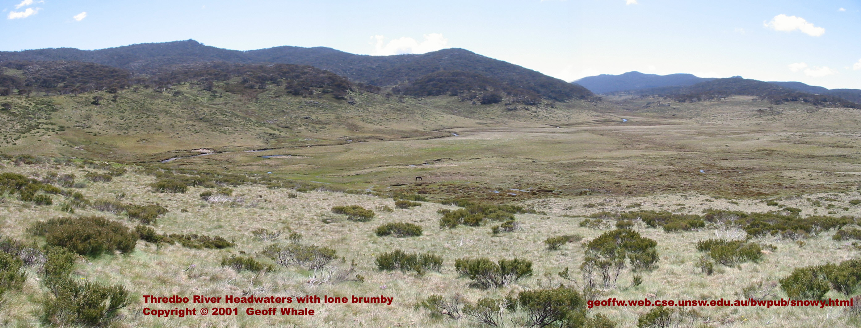
2. The Thredbo River, only a few metres wide, soaks the treeless Boggy Plain
(aka The Big Boggy). Spot the brumby in the centre.
This view is from the Cascade Fire Trail, 2.5km from Dead Horse Gap.
|
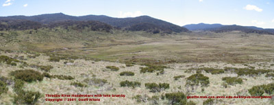
Thredbo River headwaters (877kb)
|
Kiandra
|
View from Sawyers Hill, looking west towards Kiandra.
The Eucumbene River wanders through the landscape
bearing the scars of gold mining.
|
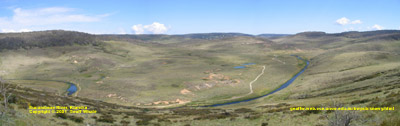
Kiandra Plain (719kb)
|
|